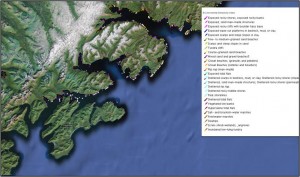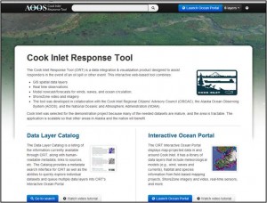
The CIRT tool includes a data catalog to find data layers, and a mapping portal in which to view them.
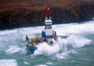
AOOS has just released a new data access and mapping application known as the Cook Inlet Response Tool, or CIRT. Its launch is immediately applicable to the Kulluk, the Shell drill rig currently aground near Kodiak.
CIRT was developed in partnership with the Cook Inlet Regional Citizens Advisory Council to assist oil spill responders and planners, as well as provide information for researchers, managers, and the general public. While focused on Cook Inlet, it also includes data for Kodiak and Afognak Island.
CIRT allows users to:
- Fly the coast and stream high definition video from the Shorezone program
- Tap into conditions from over 100 real-time sensors
- Visualize forecast models across time and depth
- Access geographic response strategies, oil persistence and hundreds of other GIS data sets including information for sensitive areas
Immediate Application: Kulluk Response
CIRT provides an immediate resource for responders and others interested in tracking the Kulluk, a Shell drilling rig in distress off the southern coast of Kodiak. The Kulluk was in route to Seattle before problems arose with its tug vessel on Dec 28th. The Kulluk is currently grounded near the shore of Sitkalidak Island, and is carrying 143,000 gallons of diesel fuel.
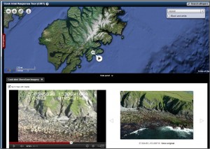 Fly the coast near the Kulluk using ShoreZone video and still photos
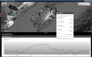 Access real-time sensors on Kodiak Island, including wind speed, water level, temperature, and other parameters
More Information on the Kulluk

