July 6, 2020
By Jacquelyn Overbeck, Alaska Division of Geological & Geophysical Surveys
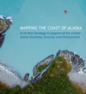
The Alaska Mapping Executive Committee (AMEC)—a coordinated working group amongst federal agencies as well as the State of Alaska—recently released a strategy to map the coast of Alaska over the next 10 years. The strategy primarily addresses improvements to topographic, bathymetric, and orthoimagery datasets, but also recognizes that improvements to the Alaska water level network are necessary to support mapping efforts.
The strategy states AMEC will seek options for addressing “Alaska NWLON gaps, co-locating existing water level stations with CORS, and building VDatum models in Alaska to gain efficiencies by seamlessly linking topographic and bathymetric datasets for inclusion in the Implementation Plan.”
The full strategy is available here: https://iocm.noaa.gov/…/alaska-mapping-strategy-june2020.pdf and more information can be found at Alaska Geospatial Council’s Coastal Strategy Webpage.


