

Click to enlarge
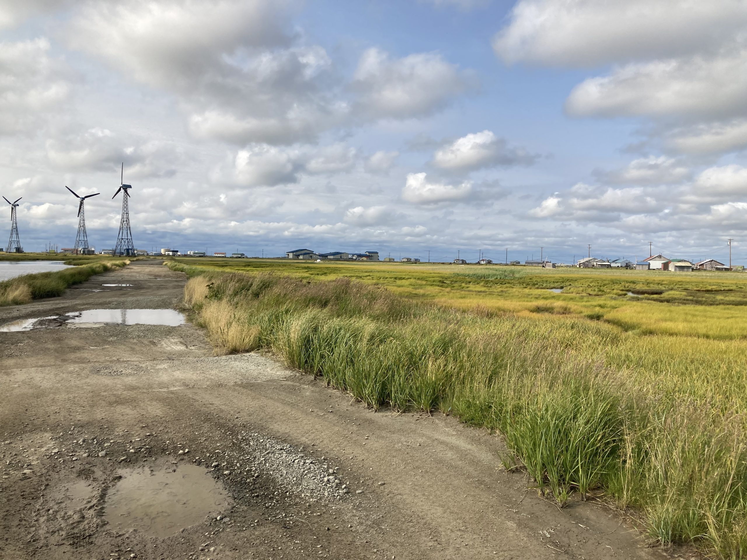
Kwigillingok is a low-lying community on the Kuskokwim Delta. The community is located on a tidal slough that exits into Kuskokwim Bay (Photo taken by Richard Buzard, DGGS Geologist, August 2021).
October 22, 2021
By Jacquelyn Overbeck, Alaska Division of Geological & Geophysical Surveys
Early in spring of 2021, the community of Kwgillingok experienced coastal flooding from a high tide (see https://www.kyuk.org/post/kwigillingok-experiences-severe-tidal-flooding). Although Kwigillingok has had coastal flooding in the past (see https://maps.dggs.alaska.gov/photodb/#show=96&search=storm%20kwigillingok), the timing and reason for the flooding was unusual. Normally, high water events occur with coastal storm surge during fall rather than on a high tide alone. Water level sensors help scientists to determine how high water gets relative to land and infrastructure. A water level sensor was installed in Kwigillingok to monitor flooding and help determine trends in tides and coastal storms so that future community planning efforts can utilize data and observations for decision making. Data are available in real-time at (https://water-level-watch.portal.aoos.org/#metadata/110872/station).
Andrew Herbst, DGGS Analyst, measures the height of the water level sensor to tie measurements into a referenceable datum.