
Click to enlarge
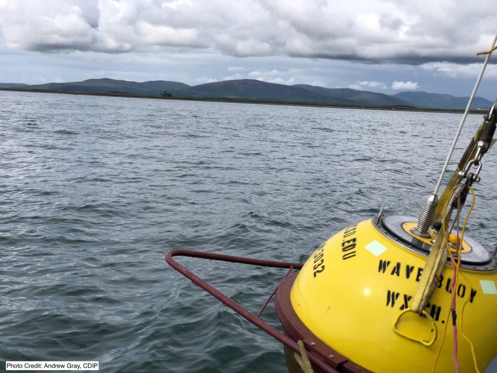
There is a new flashing yellow light off shore of the Port of Nome! A brand-new wave and current buoy was deployed on July 11, 2018 and will be collecting information for port users, the shipping industry and local residents.
Mariners in the Nome vicinity will now have access to real-time information on wave height, wave direction, wave period, surface currents, and sea surface temperature. Nome Harbormaster Lucas Stotts says:
“This will be an invaluable service as locals and commercial traffic alike learn of this service and how to access the information. This will greatly improve safety on the water and hopefully not only help save lives but also help locals enjoy the water and prevent incidents.”
Information from this buoy, located at Lat 64° 28.34’ N, Long 165° 28.46’ W, will be broadcast on http://ndbc.noaa.gov and the National Weather Service Marine Channel. This same information will be updated every 30 minutes on the Coastal Data Information Program (CDIP) website at http://cdip.ucsd.edu and on the AOOS website at https://portal.aoos.org/?#metadata/75597/station.
Many thanks to the following partners for their support in ensuring procurement, deployment and long-term operation and maintenance of the new wave buoy:
Alaska Ocean Observing System The Port of Nome
U.S. Army Corps of Engineers Coastal Data Information Program (CDIP)
The Marine Exchange of Alaska
The buoy is being operated and maintained by the Alaska Ocean Observing System and the City of Nome. It is the first such buoy to be deployed on an operational basis to support increased navigation traffic through the Bering Strait due to an increasingly ice-diminished Arctic.