
Click to enlarge
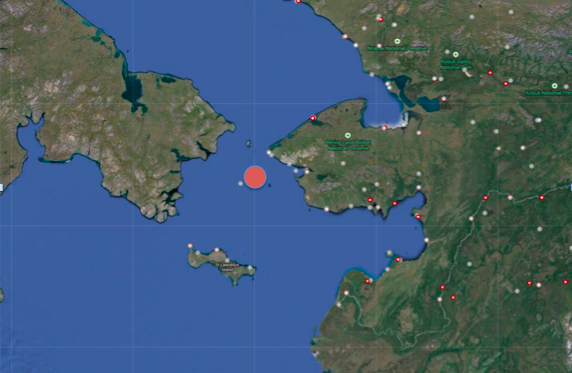
The buoy has been providing data approximately 35 miles west of King Island in the Bering Strait.
Over the past two years, a weather and wave buoy owned by the University of Alaska Fairbanks, and operated by AOOS with funding from the Western Alaska LCC, has been streaming real-time wave height and direction, air temperature and sea surface temperature 30 miles west of King Island.
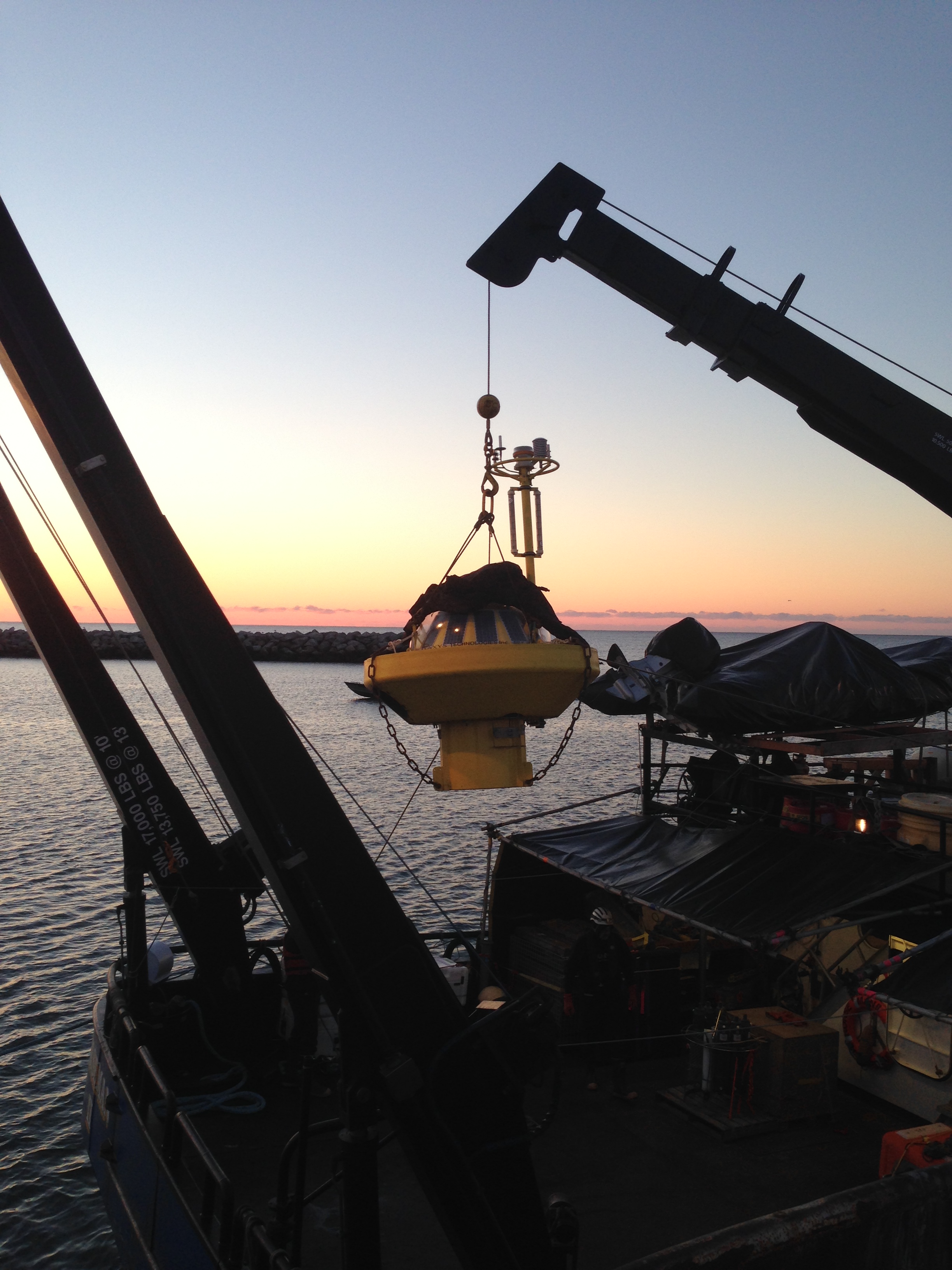
Buoy is unloaded from the Norseman II in Nome, October 2014
On Oct 8, the R/V Norseman II successfully plucked the buoy from the water, thanks Olgoonik Fairweather. AOOS would like to send a big thanks to Scott Hameister on board the Norseman II, Sheyna Wisdom and Willow Hetrick from Olgoonik Fairweather for their coordination, and Kevin Keith at the Norton Sound Economic Development Corporation (NSEDC) for his help on the successful retrieval and transition of the buoy for winter storage in Nome.
The buoy will be redeployed next summer under the care and support of NSEDC, while AOOS will continue to support data telemetry and provide access to the data through the AOOS real-time sensor map and to the National Data Buoy Center, where this information is used by the Nation Weather Service to improve modeling efforts. NSEDC will be leading an effort with Alaska Sea Grant and others to discuss where the buoy should be placed next season, particularly for the interests and benefits to mariners, including subsistance and commercial hunters and fishermen. If you have ideas or suggestions please contact Gay Sheffield with Alaska Sea Grant at ggsheffield@alaska.edu.