
Click to enlarge
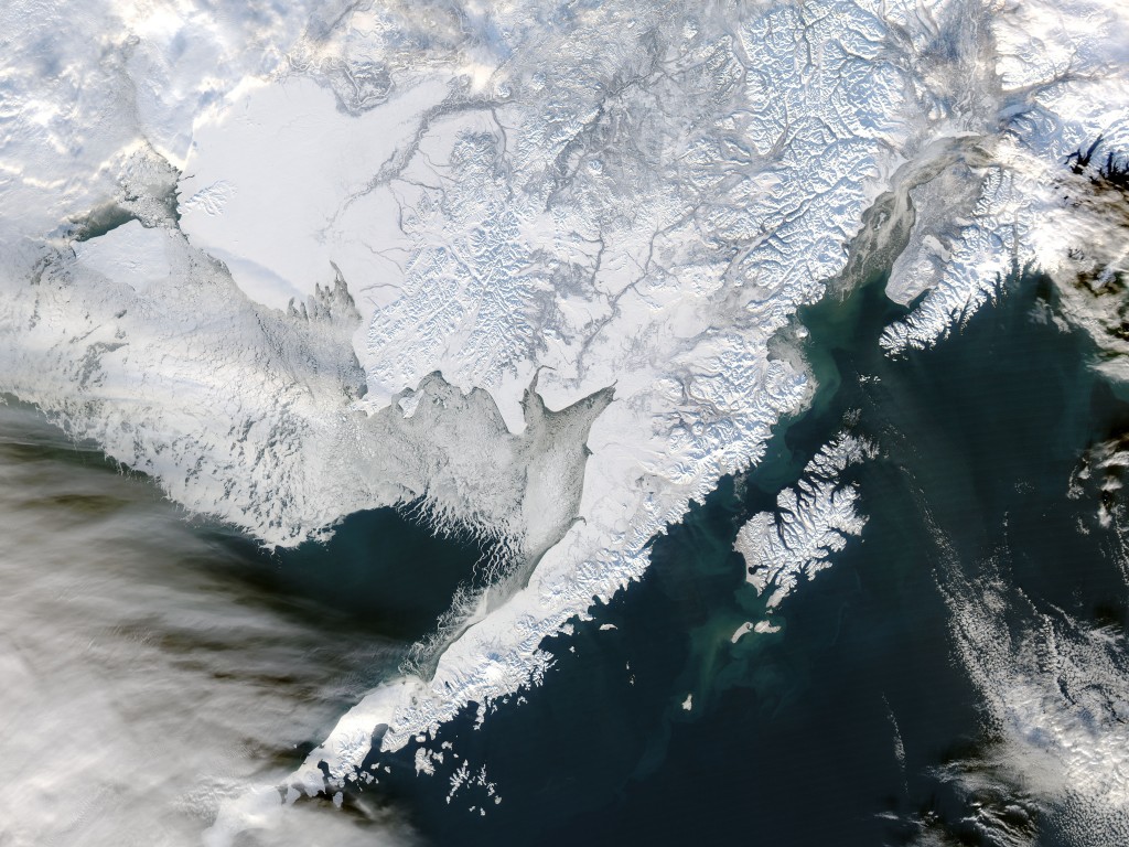
How has sea ice in the Alaska marine environment been changing over the past 150 years? The answers may soon be more clear with the completion of a new project.
The Alaska Center for Climate Assessment and Policy (ACCAP), the Alaska Ocean Observing System (AOOS), the National Weather Service Anchorage Office (Sea Ice Desk), the National Snow and Ice Data Center (NSIDC), and NOAA’s Pacific Environmental Marine Laboratory (PMEL) are working together to produce a digital sea ice atlas by 2013.
The atlas consists of digitally-stored sea ice concentration data on a grid covering all Alaska coastal waters to a distance of ~500 km (300 mi) from shore, with a spatial resolution of 25 km. The time resolution is monthly for the period 1850s-1950s, and weekly for the period from the early 1950s to 2010 with the allowance of subsequent updates.
- Information for the atlas will come from:
- Satellite passive microwave
- North American ice center digital data
- Sea ice charts
- Monthly ice charts
- Ship reports
We welcome your input. If you have questions or ideas, please email John Walsh at UAF.