Click to enlarge
The wave buoy will remain on location until the end of the open water season in early October.
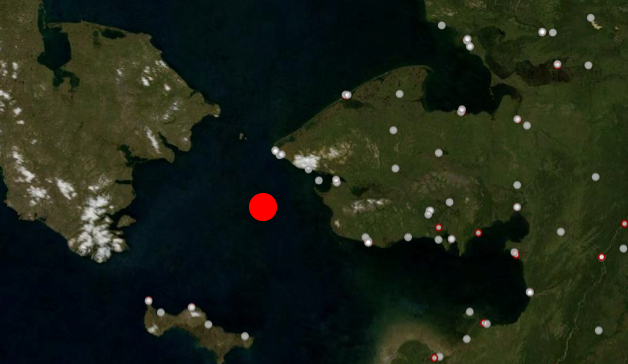
On July 29th, a wave and weather buoy was deployed in the Bering Strait approximately 35 miles west of King Island. The buoy streams real-time information on waves, wind, air surface temperature, and sea surface temperature on an hourly basis.
Access real-time observations
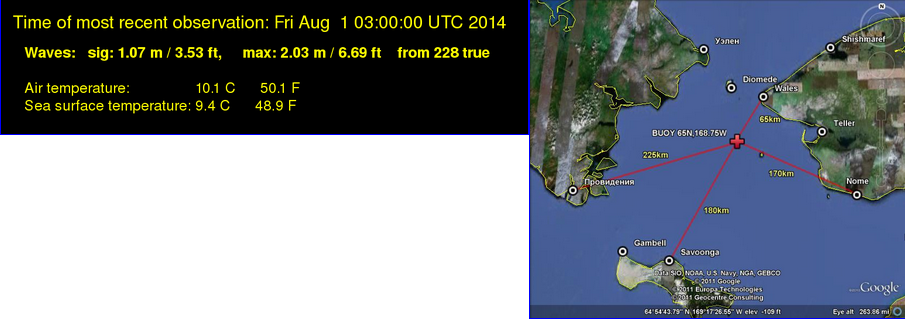 Low Bandwidth data stream
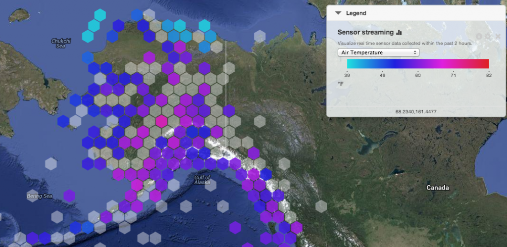 AOOS Sensor Map
(zoom into Bering Strait and set “wave height and direction” as the parameter of choice)
Who will use this data?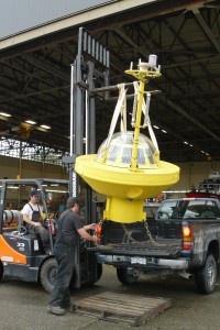
The goal of the buoy is to assist village residents, National Weather Service forecasters, the U.S. Coast Guard, commercial and recreational ships, and anyone else transiting the region which is known for extreme weather and strong currents.
Similar to many projects in remote Alaska, the buoy was a collaboration between multiple partners. The buoy was originally purchased by the University of Alaska Fairbanks, who provided data in a similar location in 2011. In 2013, funding from the Western Alaska LCC allowed the buoy to be repaired and set afloat once again for two more seaons. AOOS and the University of Victoria provided logistical support, and Olgoonik Fairweather donated time and deck space on the Westward Wind. Special thanks to everyone who made this happen!
![]()