
Click to enlarge
High Frequency Radar (HFR) provides real-time ocean surface current mapping. This observing technology is being widely used within the US but critical gaps in coverage exist and have been identified by the Integrated Ocean Observing System (IOOS). AOOS and the other Regional Associations have been working with IOOS to highlight this need and acquire the funding needed to add 12 new radars closing these critical gaps. (View campaign flyer here).
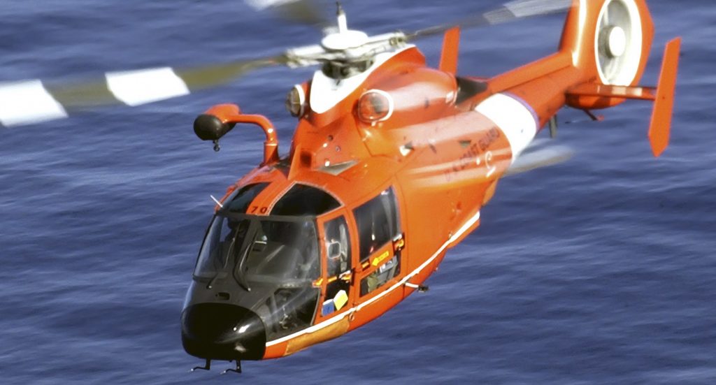
HF radar systems measure the speed and direction of ocean surface currents in near real time. Currents in the ocean are equivalent to winds in the atmosphere because they move things from one location to another. These currents carry nutrients as well as pollutants, so it is important to know the currents for ecological and economic reasons. The currents carry any floating object, which is why U.S. Coast Guard search and rescue operators use HF radar data to make critical decisions when rescuing disabled vessels and people stranded in the water.
These radars can measure currents over a large region of the coastal ocean, from a few kilometers offshore up to 200 km, and can operate under any weather conditions. They are located near the water’s edge, and need not be situated atop a high point of land. Traditionally, crews placed current measuring devices directly into the water to retrieve current speeds. While these direct measurement systems are still widely used as a standard reference, HF radars are the only sensors that can measure large areas at once with the detail required for the important applications described here. Not even satellites have this capability.