
Click to enlarge
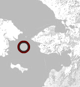
The buoy was located at: 65 deg 00.574 min N, 169 deg 27.211 min W
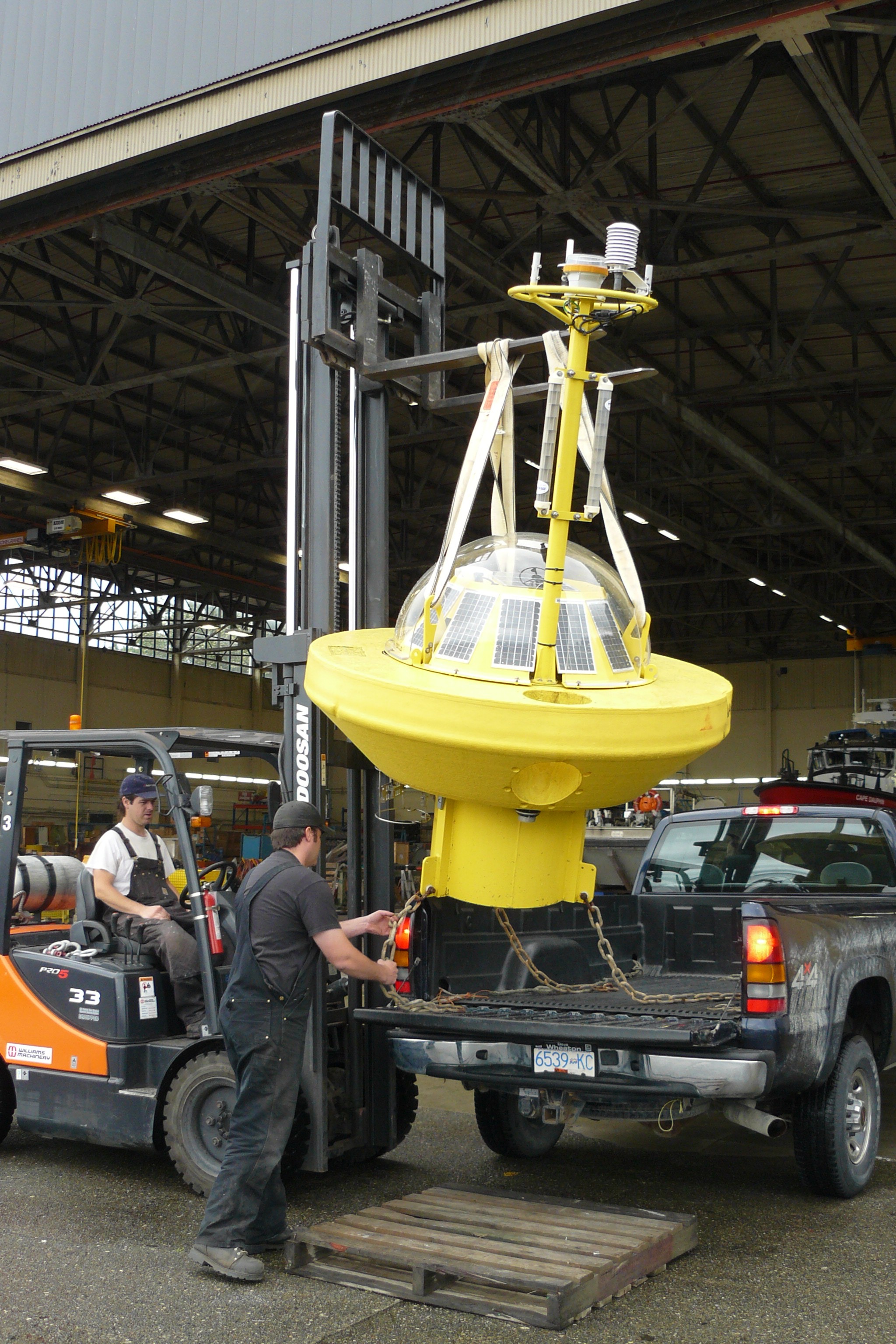
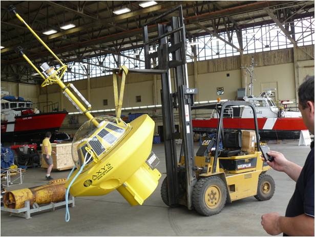
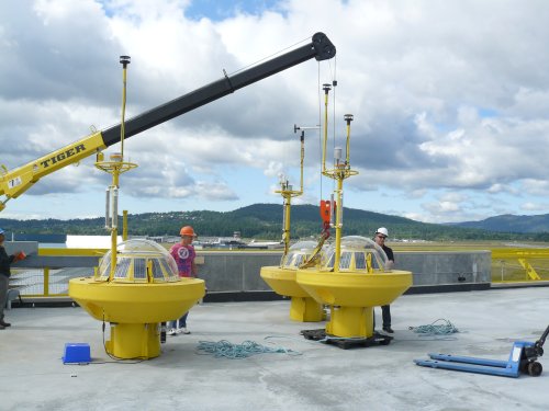
On July 15th, a wave and weather buoy was deployed in the Bering Strait approximately 35 miles west of King Island. The buoy streams real-time information on waves, wind, air surface temperature, and sea surface temperature on an hourly basis, and can be accessed through the AOOS real-time sensor map.
Real-time observations from the buoy can be accessed:
 Interactive AOOS Sensor Map (custom view)
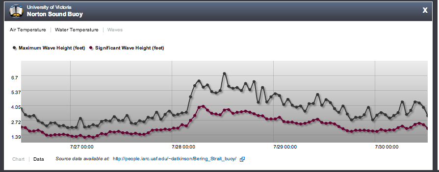
buoy reports hourly air and water temperature, maximum and significant wave height.
And additional info (such as seafloor substrate, Essential Fish Habitat (EFH) or shipping routs) may be layered over the real-time feed:
![]() AOOS Arctic Portal (Custom View)
AOOS Arctic Portal (Custom View)
Click “search all layers” at the top of the page to browse our entire collection of data layers.
Who will use this data and what for?
The goal of the buoy is to assist village residents, National Weather Service forecasters, the U.S. Coast Guard, commercial and recreational ships, and anyone else transiting the region which is known for extreme weather and strong currents.
Similar to many projects in remote Alaska, the buoy was a collaboration between multiple partners. The buoy was originally purchased by the University of Alaska Fairbanks, who provided data in similar location in 2011. This year, funding from the Western Alaska LCC allowed the buoy to be repaired and set afloat once again. AOOS and the University of Victoria provided logistical support, and the Canadian Coast Guard donated time and deck space on the Sir Wilfrid Laurier. Special thanks to everyone who made this happen!