
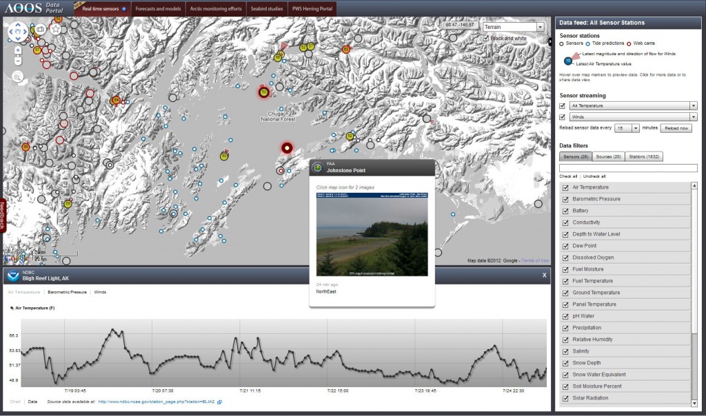
Click to enlarge
View updated images from over 200 webcams across the state from the FAA, DOT, and other entities.
The AOOS real-time sensor map enables users to track Alaska’s weather in real time by tapping into webcams, weather stations, stream gauges, buoys, and other instruments across the state that provide live data. This month, scope images from over 200 webcams around the state to see the leaves change color and the ground turn white.
This map is made possible by many agencies that provide open source access to their data streams, including the NOAA, USGS, FAA, and others.
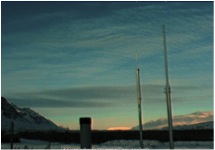
Snow blankets the ground at Anaktuvuk Pass at sunset on October 1st.
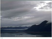
Wrangell, located in southeast Alaska, shows a blanket of clouds. Snow is highly unlikely in Wrangell in October.