
Click to enlarge
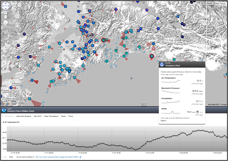
On Nov 21st, AOOS released a new version of the AOOS real-time sensor map. The AOOS data management team has been hard at work over the last few months, redesigning the system and interface to better meet user needs.
New capabilities include:
- Ability to see the latest observations from multiple sensors housed on a single station at the same time
- Ability to “Deep Link” into a user's current view by clicking the star at the top left of the screen. This means you can bookmark a specific view to return to, or send it to a friend.
- View wind vectors on the main map, showing wind direction and magnitude (soon wave vectors will be added as well)
- View a visual representation of relative differences in temperature, precipitation, or other parameter of your choosing across stations
- Other interface updates
Please take a moment to review this exciting new resource. We value your feedback and encourage you to find the “feedback” tab on the left side of the map to type comments or questions. This will help us prioritize future enhancements to the application.