
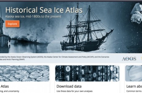
Historical Sea Ice Atlas now Online
This new web-based tool, developed by a consortium of partners, allows users to view and download sea ice concentration data around Alaska from 1850 to the present.


A data-sharing agreement between NOAA and three oil companies (Shell, ConocoPhillips, and StatOil) with leases in the Chukchi Sea is yielding a wealth of raw environmental studies data collected by ConocoPhillips, Shell and Statoil in the Chukchi Sea between 2008 and 2011. Click here to read more
AOOS is developing a conceptual build out plan for an Arctic Ocean Observing System for the Alaska Arctic. Please let us know what you think.
AOOS and partners have received funding from NOAA to develop data visualization tools for Alaska's Arctic. The collection and synthesis of spatial data into a suite of visualization tools is a critical step for long-term collaborative planning in Alaska for a wide range of coastal uses. This project is called STAMP.
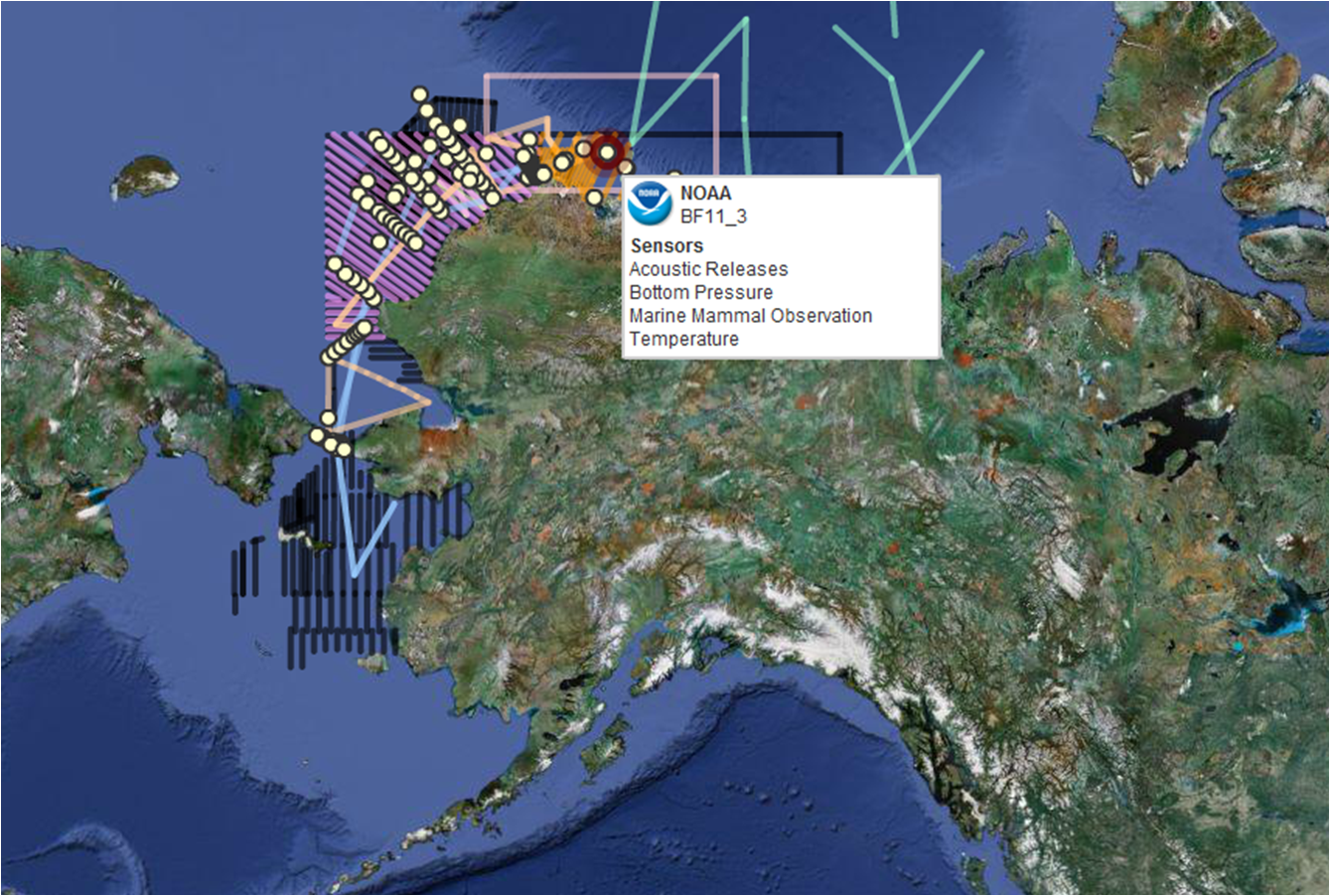
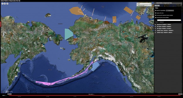
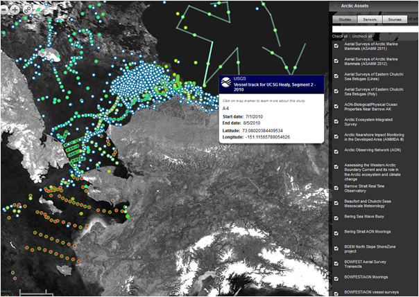
Visit the Arctic Research Assets Map to find details on instruments and monitoring in Arctic waters. Have instruments to add for 2012? Let us know!
Scientists estimate that that the ocean is 25% more acidic today than it was 300 years ago, traceable to increasing levels of atmospheric CO2 from fossil fuel combustion and land use change. Alaska waters are especially susceptible because of their unique circulation patterns and colder temperatures—cold water can absorb more CO2 than warm water.
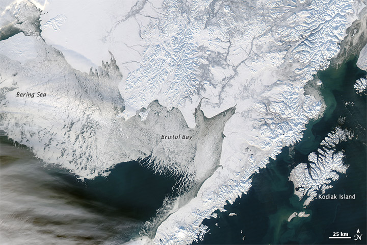
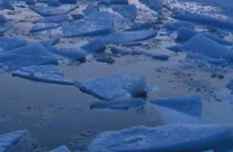
There is an ongoing need for timely and detailed information about sea ice conditions off Alaska. Now, powerful geographic information system (GIS) software and in-house expertise, plus historical databases extending back to the 1950s, have encouraged AOOS to partner with the Alaska Center for Climate Assessment and Policy (ACCAP) to produce a digital sea ice atlas for Alaska waters that will be publicly accessible through the AOOS website.
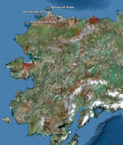
All mariners must consider the currents created by tidal ebb and flood. When winds and waves are also factors, the speed of these currents can magnify waves to dangerous heights. HF radar is a powerful tool for measuring speed and direction of surface currents.
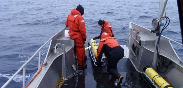
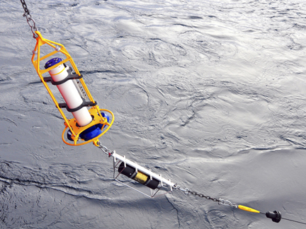
Marine scientists use gliders—one of several types of Autonomous Underwater Vehicles (AUVs)—to gather data across vast stretches of open ocean. Gliders are especially handy in northern seas, where remote locations, harsh weather, and difficult logistics are commonplace.